Android
The new home of /r/Android on Lemmy and the Fediverse!
Android news, reviews, tips, and discussions about rooting, tutorials, and apps.
🔗Universal Link: !android@lemdro.id
💡Content Philosophy:
Content which benefits the community (news, rumours, and discussions) is generally allowed and is valued over content which benefits only the individual (technical questions, help buying/selling, rants, self-promotion, etc.) which will be removed if it's in violation of the rules.
Support, technical, or app related questions belong in: !askandroid@lemdro.id
For fresh communities, lemmy apps, and instance updates: !lemdroid@lemdro.id
📰Our communities below
Rules
-
Stay on topic: All posts should be related to the Android OS or ecosystem.
-
No support questions, recommendation requests, rants, or bug reports: Posts must benefit the community rather than the individual. Please post to !askandroid@lemdro.id.
-
Describe images/videos, no memes: Please include a text description when sharing images or videos. Post memes to !androidmemes@lemdro.id.
-
No self-promotion spam: Active community members can post their apps if they answer any questions in the comments. Please do not post links to your own website, YouTube, blog content, or communities.
-
No reposts or rehosted content: Share only the original source of an article, unless it's not available in English or requires logging in (like Twitter). Avoid reposting the same topic from other sources.
-
No editorializing titles: You can add the author or website's name if helpful, but keep article titles unchanged.
-
No piracy or unverified APKs: Do not share links or direct people to pirated content or unverified APKs, which may contain malicious code.
-
No unauthorized polls, bots, or giveaways: Do not create polls, use bots, or organize giveaways without first contacting mods for approval.
-
No offensive or low-effort content: Don't post offensive or unhelpful content. Keep it civil and friendly!
-
No affiliate links: Posting affiliate links is not allowed.
Quick Links
Our Communities
- !askandroid@lemdro.id
- !androidmemes@lemdro.id
- !techkit@lemdro.id
- !google@lemdro.id
- !nothing@lemdro.id
- !googlepixel@lemdro.id
- !xiaomi@lemdro.id
- !sony@lemdro.id
- !samsung@lemdro.id
- !galaxywatch@lemdro.id
- !oneplus@lemdro.id
- !motorola@lemdro.id
- !meta@lemdro.id
- !apple@lemdro.id
- !microsoft@lemdro.id
- !chatgpt@lemdro.id
- !bing@lemdro.id
- !reddit@lemdro.id
Lemmy App List
Chat and More
view the rest of the comments

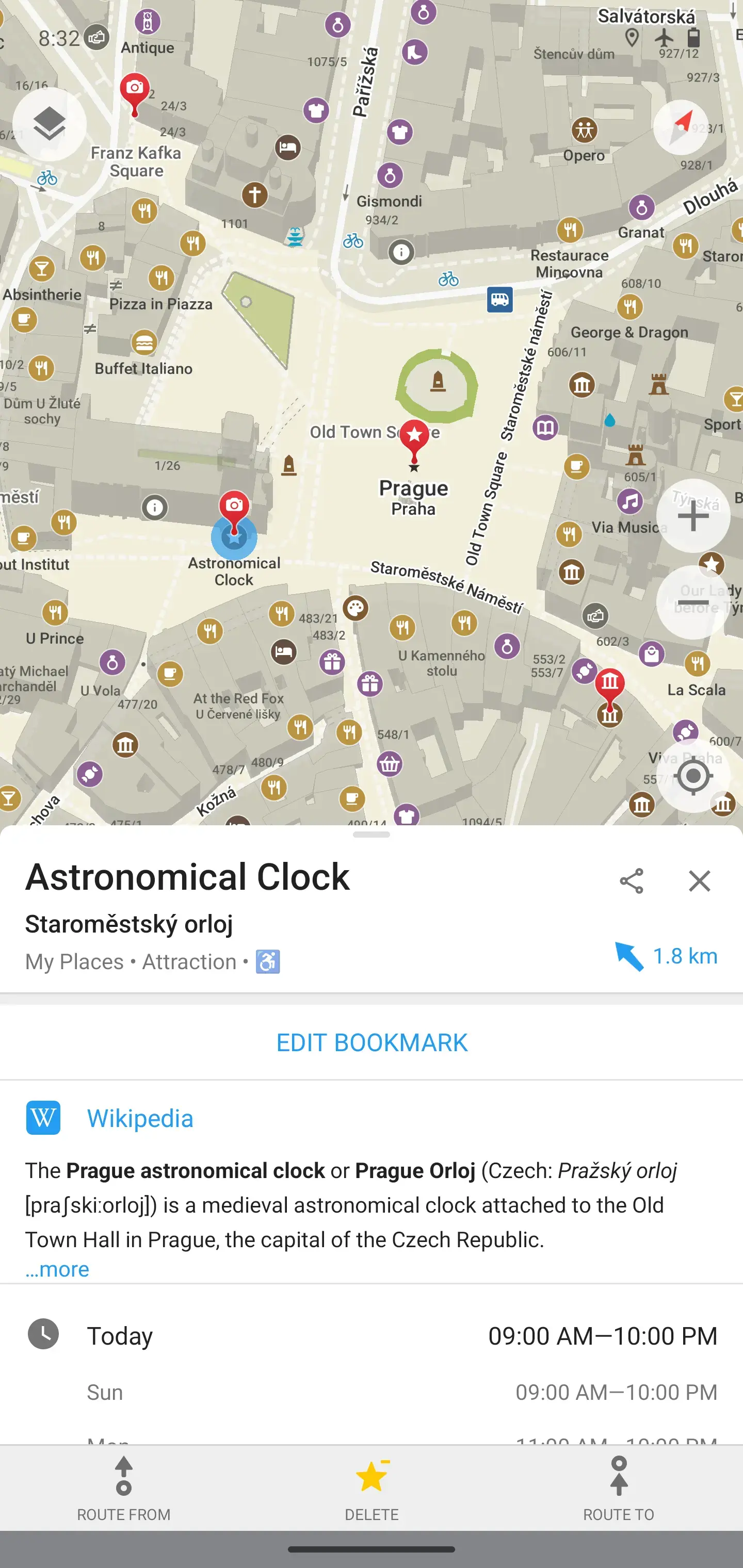
For driving I recommend Magic Earth, it's based on OSM data but uses proprietary traffic information as well
Interesting. Do you happen to know where it gets its traffic data from? I haven't yet personally found anything nearly as useful as Waze.
They collect location of their users but anonimize every data on device, they can't track anyone personally. They also sell their SDK to businesses and collect data from there as well.
But I don't think Magic Earth is that widely used. How precise is it really?
I use it frequently, and it's mostly right. It can tell traffic jams really precisely (it says something like "you will have to stop in 300m" and the traffic jam is actually starts at ∓10m from that point)
But it tries to navigate me through fully closed roads. I don't know why is that. The kind of closed road it misses is regularly closed, but at irregular intervals (like most weekends on the summer, but not always, if there is some happening it is also closed on weekdays, etc). These kind of irregular things shouldn't be mapped in OpenStreetMap (As documented in the wiki) I have a feeling that they think that it should be mapped, but I won't map it.
I guess it also depends on where you live, so just try it first.
Honestly, when a road is closed for a weekend at irregular intervals without a schedule in advance its not reasonable to map it. I contribute to OSM from time to time and thought about it as well but the general consensus is to map regular closures or road closures that go on for like more than a month. OSM is a general purpose map and not for mapping road closures as current data will be used long after now on offline navigation gps devices. We would probably need an open street closure map that aggregates all the databases for road closures and interact with osm. For the major ones I know I've just been blocking what I know locally to not route through it, as I can't be bothered in starting a project like that
Given they are working with third party for traffic data, it should be theoretically possible for them to exploit ad network or work with google for mobile locations.