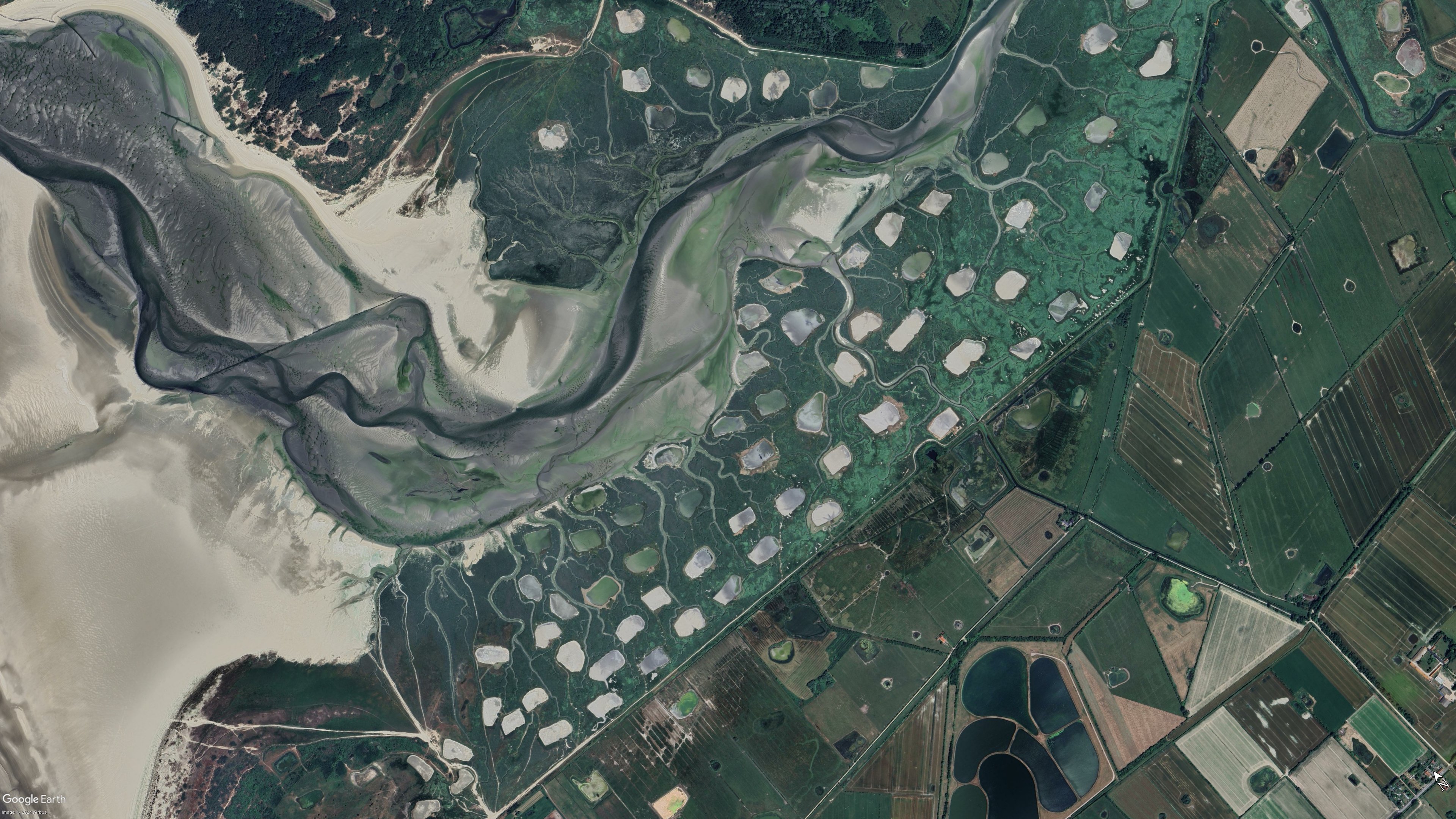
Coordinates: 50°27'07,38" N 1°38'34,17" E
Slightly east of Le Bout De Haut

Also this a bit further south
A place to share pictures taken from above, that reveal interesting views, fascinating places or different angles to places.
I have made a short video describing how I take the pictures that I share, here
This is not a rule! You are welcome to share any aerial picture you feel is worth sharing. I just thought that maybe some of you may need a little help. It's really addictive once you get started!
(updated manually)

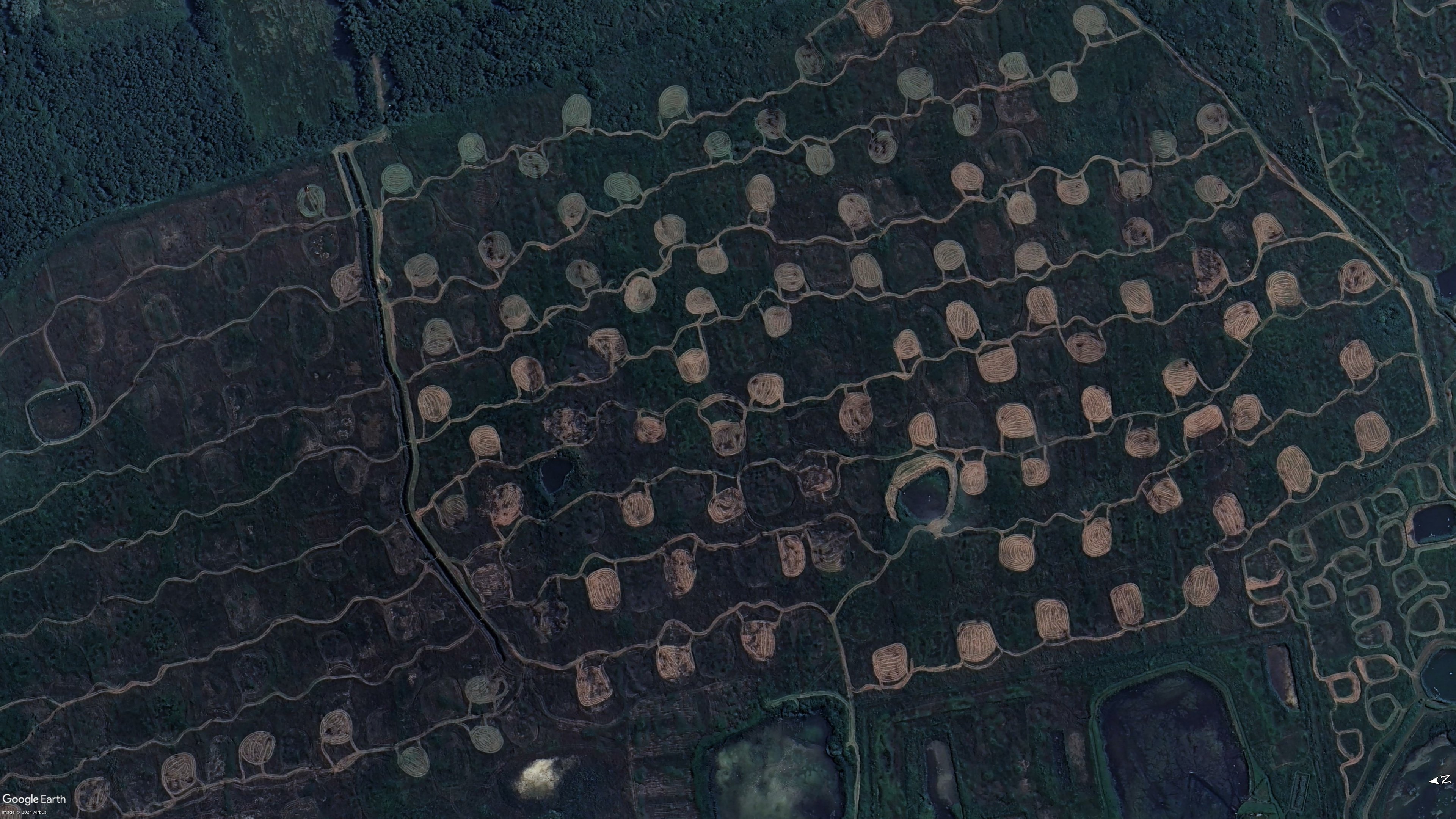
Coordinates: 50°27'07,38" N 1°38'34,17" E
Slightly east of Le Bout De Haut
Also this a bit further south
They are really strange. On google earth i was able to see some older picture of the same place. I dont think they are water ponds. In the earlier pictures its a bit more clear that they are earth patches
They will be. It's just a dry season image, see my explanation above