Coordinates: 50°27'07,38" N 1°38'34,17" E
Slightly east of Le Bout De Haut

Also this a bit further south
A place to share pictures taken from above, that reveal interesting views, fascinating places or different angles to places.
I have made a short video describing how I take the pictures that I share, here
This is not a rule! You are welcome to share any aerial picture you feel is worth sharing. I just thought that maybe some of you may need a little help. It's really addictive once you get started!
(updated manually)

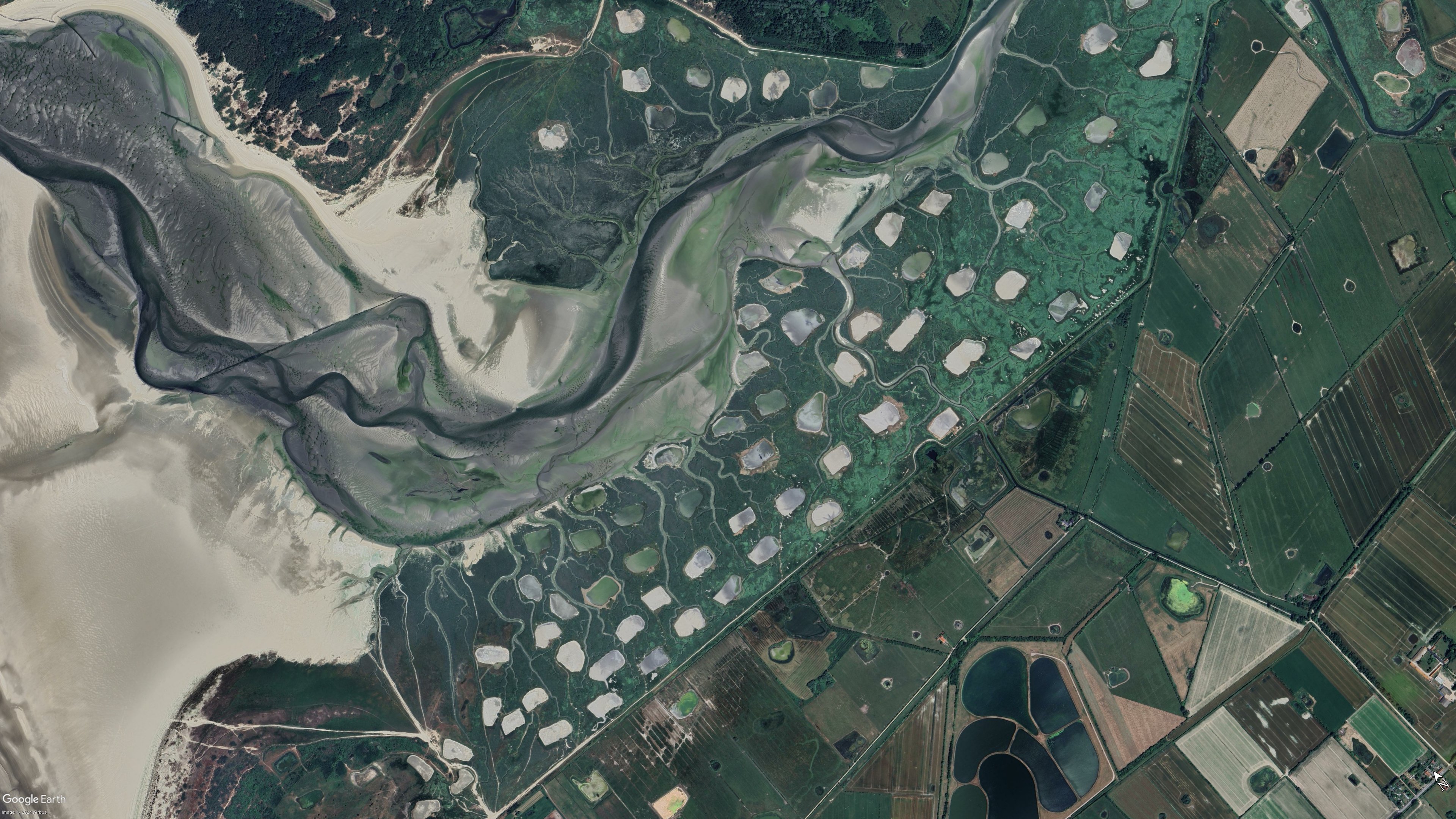
Coordinates: 50°27'07,38" N 1°38'34,17" E
Slightly east of Le Bout De Haut
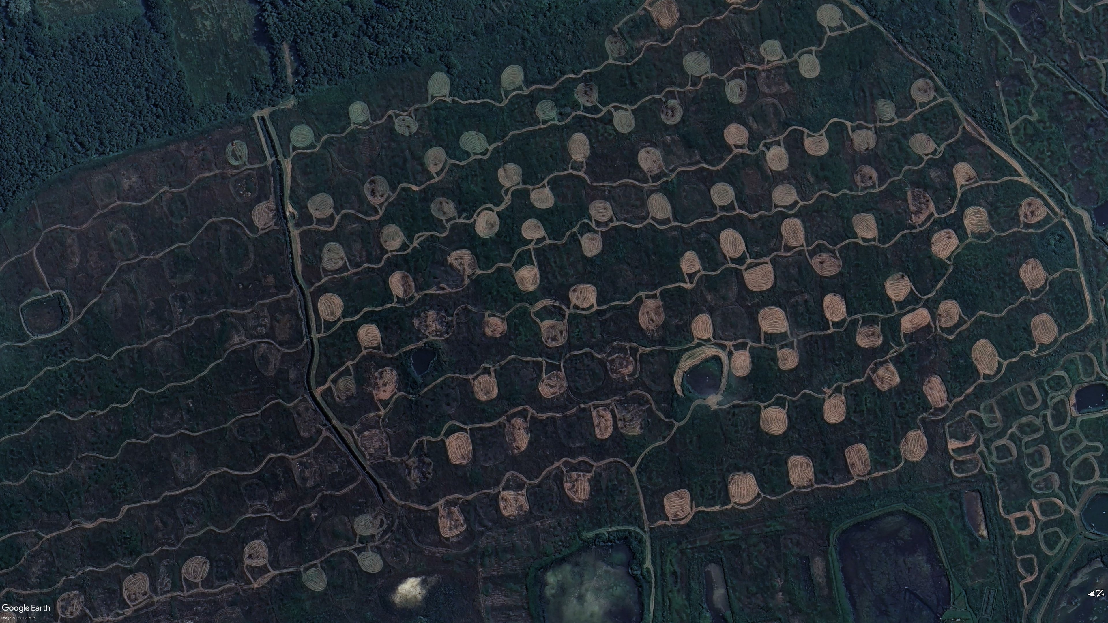
Also this a bit further south
Unless I got the coordinates wrong, it appears to be part of a protected wetland area called Marais de Balençon. I can't find much more information aside from hiking trails and this very short description on the merlimont website.
I might be off by a bit though, navigating maps on a phone is a pain for me.
I found an explanation on a French blog. These shapes are called "Platières à bécassines". Bécassine is the French for the wild bird "snipe". The idea is to cut the grass/vegetation on some patches of the swamp in June (when it's dry), so that when water comes back in the autumn it creates small ponds that snipes like. It's for bird/duck hunting purposes basically.
source